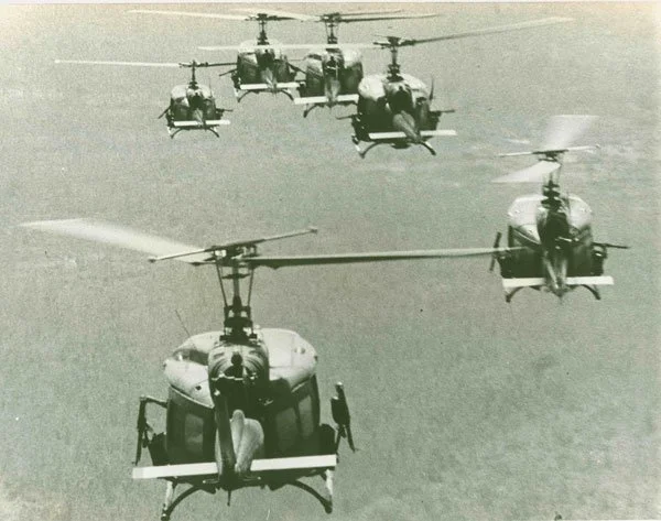
Points of Contact
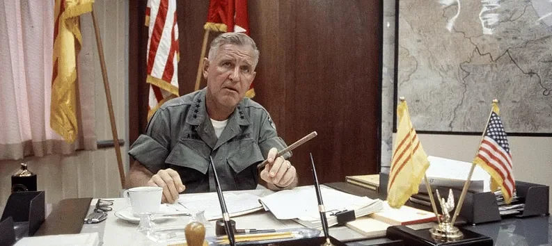
Multi-Institutional, Transnational
Points of Contact is inspired by the work done by UNC’s Ancient World Mapping Project, which has created a deep well of knowledge based not just on UNC’s own holdings or the work done by the Mapping Center’s resident historians. The true success of the AWMP has been in its collaborative approach. The AWMP’s datasets are drawn across countries and institutions, and combined create one of the best maps of the ancient Mediterranean.
Points of Contact would replicate this by build a network of allied mapping projects who are willing to share data and pool resources to create a more encompassing, unified tool for researchers of mid-century Vietnam. There are numerous projects who have already done work on their own individual data sets, including the Pritzker Library’s mapping collection, the holdings of the Vietnam Center at Texas Tech, the Indochina Bombing Project at ERSI in the UK, the Cambodian Genocide Project at Yale, the bomb crater analysis project at Ohio State, and more. The goal would be not just to identify and promote similar data sets, but to incorporate aspects of these projects to create a single synthesis made better from its many constituent inputs. Similarly, partnerships with interested stakeholders such as the DPAA or Korean MAKRI can help to develop mapping layers useful beyond the confines of the academy.
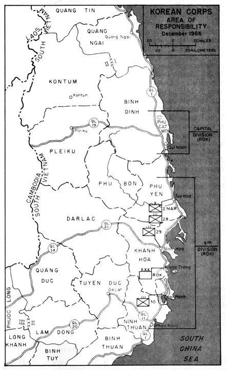
Beyond cross-institutional connections, this project would seek to develop transnational data sets and partnerships. Here my work on The Tiger Front creates important and sympathetic connections beyond American sources and North American academia. The Tiger Front, a history of the South Korean War in Vietnam, will create opportunities to incorporate sources not found in most repositories which are primarily rooted in the American experience.
Mapping the Vietnam War
Points of Contact
The Vietnam War was unlike other wars which came before it. In the 20th Century, America and its Allies became used to wars with clear front lines, observable changes, and clear battles. But with Vietnam, the war and its story was and remains ambiguous.
As a student, my advisor made a point which still sticks with me: there has never been a true operational history of the Vietnam War. Operational histories sit below the level of strategy and diplomacy, the world of Lyndon Johnson and Robert McNamara, but above the level of tactics, the world of memoirs, movies, and individual experiences. Operational history translates strategic priorities into on the ground operations, links many successive battles into coherent campaigns, and then links campaigns and operations together to chart the progress of a conflict. Perhaps the most magisterial operational history is David Chandler’s The Campaigns of Napoleon. With the American Civil War, a hundred or more operational-scale histories are published a year. And the number of similarly scaled histories of World War Two must now surely outnumber the stars in the sky. Yet with Vietnam, these histories are almost always short, incomplete, and geographically narrow. They focus on single units, in single provinces, in spans of just a year or two, without showing broader contexts. Many historians have focused on the larger dynamics shaping these operations, the formation and destruction of institutions, policy and decision making in Washington, Hanoi, and Saigon, and the experiences of working class soldiers on both sides just trying survive. But to link these into a coherent vision of the war, a contemporary scholar on the war must go through the laborious task themselves of consuming unit and provincial studies and extrapolating from that fragmentary base. The core problem remains, however, that the Vietnam War is unlike many of these other conflicts. It lacked clear front lines, the chaotic nature of fighting makes generating a coherent narrative difficult, and it is as hard for historians today as policymakers then to divine the larger significance of seemingly disordered operations.
Perhaps, then, creating a true operational history of the war is impossible?
Points of Contact contributes to this conversation by reframing the operational history problem entirely. While the war defies conventional narrative frameworks ala Weigley’s A Great Civil War or Atkinson’s Liberation Trilogy. By why does operational history need to be narrative? It doesn’t. At its core, operational history emphasizes the connection between military engagements across both time and space. This is entirely possible within the context of the Vietnam War, the solution is mapping. GIS mapping provides an excellent tool to depict both individual battles and operations, as well as start to show the linkage between them across a diver geographic context and a broad chronology. Moreover, the Vietnam War was heavily data driven, led as it was by Robert McNamara who was infatuated with systems analysis. There is a rich and extensive source base, from unit reports, to the Hamlet Evaluation System Gazetteer, to contemporaneous RAND research reports which can all contribute to many rich, historically significant data sets.
Points of Contact envisions a mapping tool which combines high quality base maps collected from digital archives and physical repositories with several different data layers, covering both Vietnams, which visualizes combat encounters, bombing or artillery missions, casualty reports, patrol locations, and more.
The Method
Point of Contact is a four phased digital history project which aims to create a detailed, data rich map of Vietnam. While each phase is listed sequentially, the four phases can occur concurrently so long as sufficient mapping data is compiled to address each data layer.
Phase 1: Map Collection
Base maps are the most important component of Point of Contact. Without an accurate, high quality base mapping layer none of the other work may proceed. The first and most important task, now currently underway, is creating a local repository of detailed maps of Vietnam. The most attractive candidate for the base map layer is the US Army’s series L7014 produced in 1969. These maps, which would have been used at MACV and in Washington, are 1:50,000 scale. This scale provides the best balance between detail and usability, and can help to create a base layer which is not just detailed, but navigable for researchers in the field.
Phase 3: Archival Data
Through a combination of archival and digital research, alongside cross project collaboration, Point of Contact will create a unique database which will paint its unique picture of the war. The initial database will confine itself to the American War, 1965-1973, and the two Vietnams. But future projects could expand both chronologically and geographically as interest dictates.
This data set will also be tagged, referenced, and added as data layers and visualizations in the primary mapping program.
Phase 2: Georeferncing
Base maps can provide context for Vietnam as it was during the American war. But to improve their usefulness, locations and geographic features need to be tagged and collected. Utilizing a program like ARCIGS Pro or QGIS, phase 2 will entail creating multiple layers which identify important physical features, river and road networks, built geography, and more. The L7014 maps are detailed down to the hamlet level. On top of this, we can layer soldier’s geography to develop a very detailed picture of Vietnam during the war.
Phase 4: Transformation
Data is only as valuable as the uses its put towards. While Point of Contact is a tool intended to be used by researchers and institutions globally, it will also have to lead the way by demonstrating the utility of the information it collects. To this end, the project will need to create unique pieces of content and end products which highlight its utility. The advent of LLM AI tools creates unique opportunities to pioneer new methods and construct new outputs. LLMs are uniquely capable of working with large data sets, and excel at identifying patterns and trends humans miss. There are possibilities that using these tools, Point of Contact may be able to answer questions we have not yet even asked.
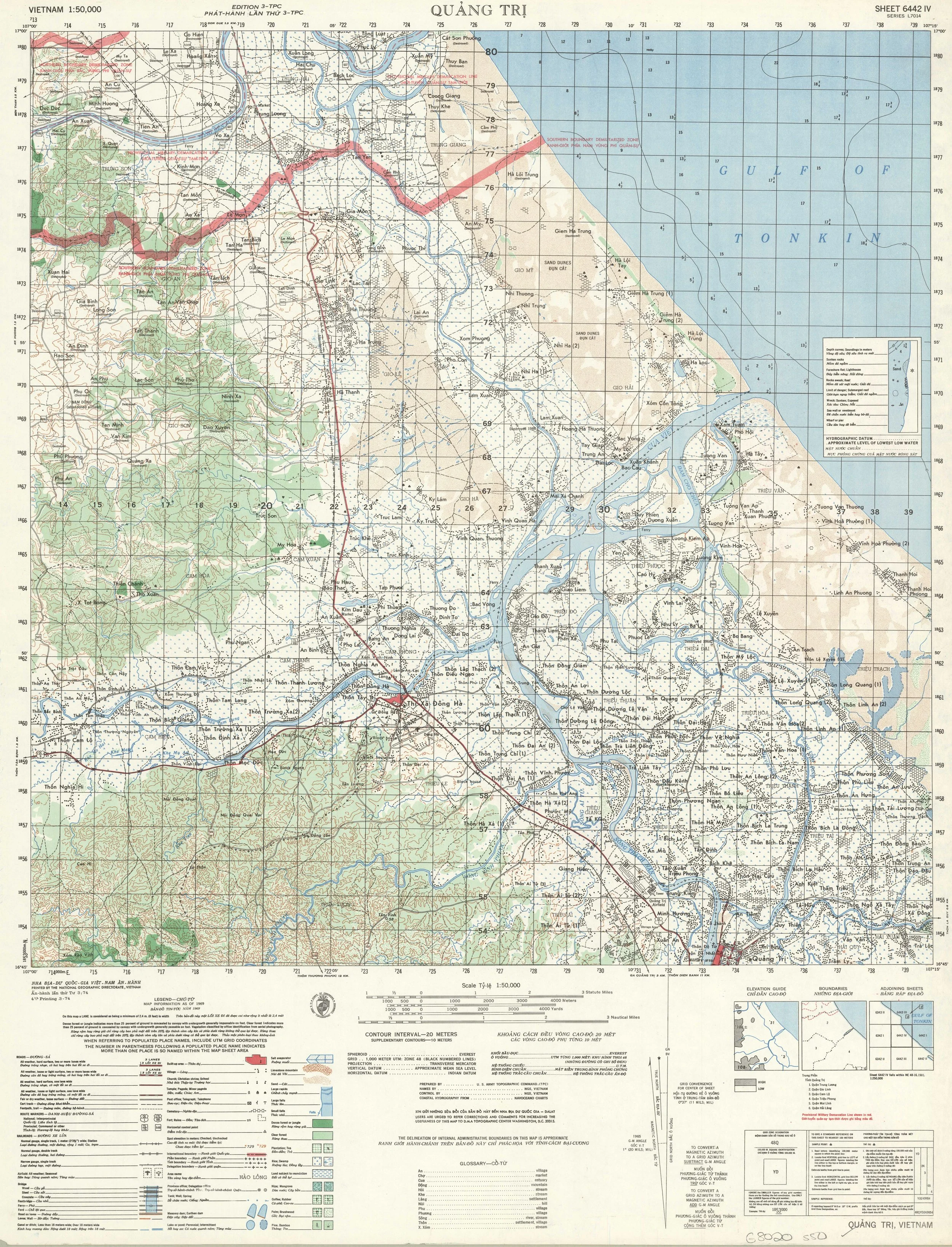
L7014 Sheet 6442 IV - Quang Tri (University of Texas Library)